


While Hurricane Erin’s path isn’t expected to hit Massachusetts, the waves it causes surely will.
The National Weather Service says waves as high as 20 feet could start hitting the coast in the coming days. That’s raising concerns for officials tasked with beach safety, and excitement in the local surfing community.
The weather service has issued a high surf advisory starting Thursday night and coastal flooding advisory beginning Friday night.
Double red flags were flying Wednesday at Horseneck Beach State Reservation, indicating the beach was closed to swimmers, as waves had already hit 6 feet and were expected to grow.
“The pure power behind these waves is pretty intense, but also the risk of rip currents … and it’s that really fast backwards moving water that is a real danger to swimmers,” said Jillian Boyle, recreational facilities supervisor at Horseneck State Beach Reservation. “Our number one goal is always public safety — the safety of our patrons, safety of our lifeguards — and we determined that it was too dangerous to allow people to swim today.”
Many of the state Department of Conservation and Recreation’s beaches are within the “high risk” area of the National Weather Service’s surf zone forecast.
“I want to urge everyone on our coasts to stay safe and alert as we expect to experience some effects of the storm passing offshore,” Gov. Maura Healey said in a written statement. “Rip currents and high surfs are a serious threat to swimmers. Please be careful while the storm passes through our region and keep an eye out for neighbors who might need assistance.”
For the local surfing community, Hurricane Erin is “like Christmas,” said Grant Gary, founder of a surf school called Boston Surf Adventures.
“It’s going to send some of the biggest waves we’ve had in probably the last decade,” Gary said. “Once these hurricane waves start to come up, it’s like you drop all of your plans and you do whatever you can to be surfing as long as you possibly can, because the waves will come and then they’ll go just as quickly as they came.”


Hurricane Erin has exactly the kind of path local surfers hope for, he said.
“What you want as a surfer for big waves is you want a very powerful storm traveling a very long distance towards you. And then you want to swerve off right at the last second. That’s exactly what hurricane Erin is doing,” Gary said.
The waves could be as high as 15 feet in Rhode Island overnight Friday into Saturday, he said.
“The sad part about it is that’s going to be happening at one in the morning. So no one’s going to see it. No one’s going see some of the biggest waves that we have had over the last decade. But Thursday at sunset and Friday at dawn, the waves are still going to be huge.”
Gary did sound a note of caution.
“It’s not the time to go in if you’re just learning to surf,” he said. “But as an advanced surfer, it might be one of your best days of the year. I mean, you’re going to catch waves that could be the best wave you ever caught in your entire life.”
Forecasters say that while Massachusetts will see some big waves as a result of Hurricane Erin, the impact on land should be minimal.
Still, Scituate Town Administrator Jim Boudreau said the town is taking precautions.
“We’re out there making sure all our low-lying flood-prone areas are buttoned up,” he said.
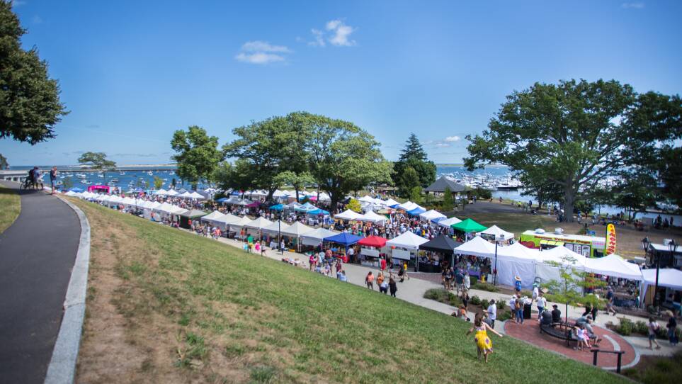
Amy Naples, who works for the Plymouth Chamber of Commerce, is pleased that the storm won’t come closer to shore. The Plymouth Waterfront Festival, scheduled for Saturday, typically draws more than 30,000 people to the harbor.
“I have certainly been sweating out the weather for the past month,” she said. “And then once we saw Erin approaching, you know, the panic began to set in.”
But with the storm expected to remain far offshore, this year’s festival will go on as planned.


